Source of this article and featured image is TechCrunch. Description and key fact are generated by Codevision AI system.
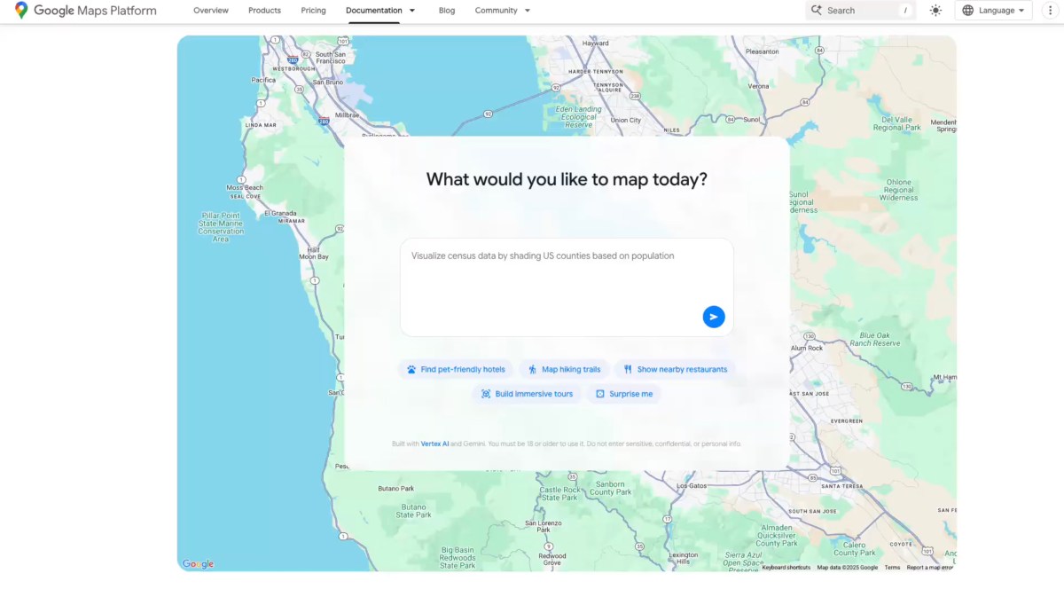
Google Maps has introduced new AI tools aimed at helping developers and users create interactive projects using Maps data and code. These tools include a builder agent that generates map-based prototypes based on text descriptions, such as creating a Street View tour or visualizing real-time weather. The MCP server connects AI assistants to Google Maps’ documentation, allowing developers to access information about the API and data. The company is also rolling out features like Contextual View, which provides visual answers to location-based questions. Ivan Mehta, the author of this article, highlights how these updates enhance both developer capabilities and user experience.
Key facts
- Google Maps is introducing AI tools to help developers and users create interactive projects using Maps data and code.
- The builder agent allows users to describe their desired map-based prototype in text and generates it automatically.
- The MCP server connects AI assistants to Google Maps’ technical documentation, enabling developers to access API information.
- Contextual View is a new low-code feature that provides visual answers to location-based questions, such as showing a list, map view, or 3D display.
- Google is also integrating Gemini-powered features for consumer use, including hands-free navigation and incident alerts in select areas.
TAGS:
#AI tools #code assistant #Contextual View #developer tools #Gemini AI #Gemini models #Google Maps #interactive projects #maps API #MCP server